California, the Golden State, is known for its beautiful beaches, stunning landscapes, and diverse population. However, there has been speculation and concern about whether California will become an island. Natural disasters like earthquakes and floods and popular culture references have fueled this idea.
Despite the fear and rumors, California will not become an island anytime soon. While it is true that California is located on the Pacific Ring of Fire, a region prone to earthquakes and volcanic activity, the state is firmly planted in the upper part of the earth’s crust. California spans two tectonic plates, the Pacific and North American plates, which meet along the San Andreas Fault. While earthquakes will continue, California is not at risk of breaking off and becoming an island.
Understanding the science behind California’s geology and natural disasters is essential to dispel any myths or misconceptions. While California may face challenges and risks, it is unlikely to become an island. The state will continue to be a part of the North American continent and a vital contributor to the United States.
Geographical Overview
California’s Position
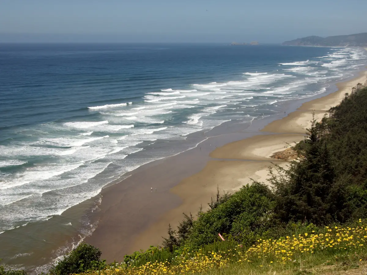
California is located on the west coast of North America and is bounded by the Pacific Ocean to the west. The state is the third-largest in the US, covering an area of approximately 163,696 square miles. California is known for its diverse geography, including mountains, forests, deserts, and beaches.
Pacific and North American Plates
California sits on the boundary between the Pacific Plate and the North American Plate. The San Andreas Fault, which runs through California, marks the boundary between these two tectonic plates. The Pacific Plate is moving in a northwest direction relative to the North American Plate, causing a lot of seismic activity in the state.
The movement of these tectonic plates is responsible for the formation of mountains, valleys, and other landforms in California. The Pacific Plate is moving towards the North American Plate at a rate of approximately 2 inches per year. This movement is causing the Pacific Plate to dive beneath the North American Plate, creating the deep ocean trench known as the Gulf of California.
While California experiences frequent earthquakes due to the movement of the tectonic plates, the idea that part of California will break off and become an island is not supported by scientific evidence. California is firmly attached to the North American Plate, and any movement of the tectonic plates is unlikely to cause the state to break off and become an island.
In conclusion, California’s position on the west coast of North America and its location on the boundary between the Pacific Plate and the North American Plate make it a geologically active region. While the state experiences frequent seismic activity, the idea that California will break off and become an island is not supported by scientific evidence.
Historical Context
The Legend of Island California
For centuries, the idea that California was an island persisted in the minds of mapmakers and explorers. The legend of Island California can be traced back to a novel published in 1510 called Sergas de Esplandián. The novel describes an island populated by black women without any men, where gold was abundant. This fictional island was named California, and it is believed that the name was later adopted by Spanish explorers who named the land they discovered after the mythical island.
Exploration and Mapmaking
Explorers such as Cortés, Francisco de Ulloa, Juan de Fuca, and Antonio de la Ascension contributed to the myth of Island California by reporting that they had seen evidence of a large body of water to the west of the continent. This led to the creation of maps that depicted California as an island, such as the famous maps of Gerardus Mercator and Abraham Ortelius.
Kino’s Discovery
In the late 17th century, Jesuit missionary Eusebio Kino explored the region and discovered that California was not an island. He explored the Gulf of California and the Sierra de los Cucapah mountains, and he made detailed maps of the region. Kino’s maps were accurate and showed California as a peninsula, but they were not widely accepted by the mapmaking community until much later.
Despite Kino’s discovery, maps depicting California as an island continued to be produced well into the 19th century. It was not until the exploration of the Laguna Salada basin and Lake Cahuilla in the 1850s that the myth of Island California was finally put to rest. Today, the legend of Island California lives on as a reminder of the power of imagination and the importance of accurate mapmaking.
Natural Disasters and their Impact
Earthquakes and Tsunamis
California is located in a region of high seismic activity, making it prone to earthquakes. The state experiences thousands of earthquakes each year, ranging from minor tremors to major quakes that can cause significant damage. In addition to the direct damage caused by earthquakes, they can also trigger tsunamis, which can cause significant damage to coastal areas.
Storms and Floods
California is also susceptible to storms and floods, especially during the winter months when atmospheric rivers bring heavy rainfall to the state. The National Weather Service issues flood watches and warnings when there is a risk of flooding, flash floods, or landslides. Reservoirs such as Lake Oroville and Lake Shasta help to manage floodwaters, but they can also pose a risk if they become too full.
Drought and Reservoir Storage
California has experienced several extreme droughts in recent years, with the most severe being the one that lasted from 2012 to 2016. During this time, reservoir storage levels dropped significantly, and the state had to implement strict water conservation measures. The Sierra Nevada mountain range, which provides much of the state’s water supply, also experienced reduced snowpack levels, further exacerbating the drought conditions.
The U.S. Drought Monitor regularly updates drought designations for California and other states, providing valuable information for water managers and policymakers. While recent years have seen some improvement in drought conditions, it remains a significant concern for the state.
Overall, California’s diverse geography and climate make it susceptible to a wide range of natural disasters. However, through careful planning and management, the state can mitigate the risks and minimize the damage caused by these events.
Evacuation and Emergency Measures
Evacuation Warnings and Orders
In California, evacuation warnings and orders are issued by local authorities in response to natural disasters such as storms, wildfires, and earthquakes. These warnings and orders are designed to protect citizens and their property from harm. In Monterey County, evacuation orders were issued in July 2023 due to a series of drenching storms that caused a river to swell and threaten nearby communities. The Monterey County Sheriff’s Office issued the orders, and citizens were advised to flee their homes immediately.
In San Francisco, evacuation orders were issued in response to a deadly storm that hit the coast in July 2023. The storm, known as a bomb cyclone, killed at least two people, including a toddler who died when a redwood tree fell on his home. The death toll could have been much higher if not for the efficient evacuation measures put in place by local authorities.
Role of National Guard
The National Guard plays a crucial role in emergency response and evacuation efforts in California. During natural disasters, the National Guard is often called upon to provide support to local authorities. This support can include search and rescue operations, transportation of citizens to safety, and distribution of essential supplies such as food and water.
In Monterey County, the National Guard was deployed to assist with the evacuation efforts in July 2023. The National Guard provided transportation and logistical support to local authorities, ensuring that citizens were able to evacuate safely and efficiently.
In conclusion, evacuation and emergency measures are critical in protecting citizens and their property during natural disasters. Local authorities and the National Guard work together to provide efficient and effective support to citizens during these times of crisis.
Specific Regions and their Vulnerability
Northern California
Northern California is home to some of the most beautiful and rugged terrain in the state. Unfortunately, it is also one of the most vulnerable regions to natural disasters. The area is prone to wildfires, floods, and landslides. The Bay Area, in particular, is at risk due to its proximity to the San Andreas Fault. The region is also vulnerable to sea-level rise, which could lead to flooding in low-lying areas.
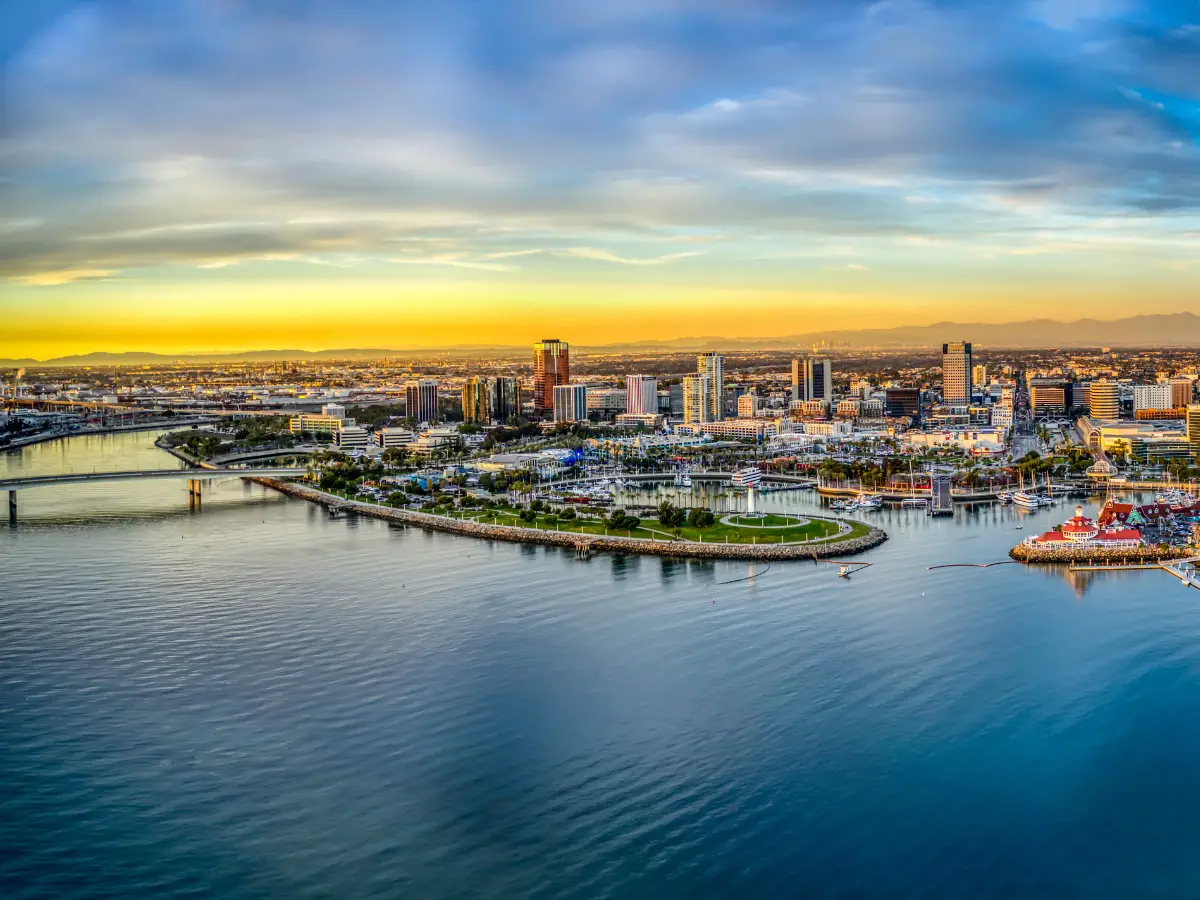
Monterey Peninsula
The Monterey Peninsula is a beautiful and popular tourist destination. However, it is also at risk of flooding due to its location near the Salinas River. The river has a history of flooding, and the area is particularly vulnerable during heavy rainstorms. In addition, the region is at risk of wildfires due to its dry climate and abundance of vegetation.
Baja California Peninsula
The Baja California Peninsula is a popular tourist destination, known for its beautiful beaches and warm climate. However, the region is also vulnerable to natural disasters. The area is prone to earthquakes and hurricanes, which can cause significant damage. In addition, the region is at risk of wildfires due to its dry climate and abundance of vegetation.
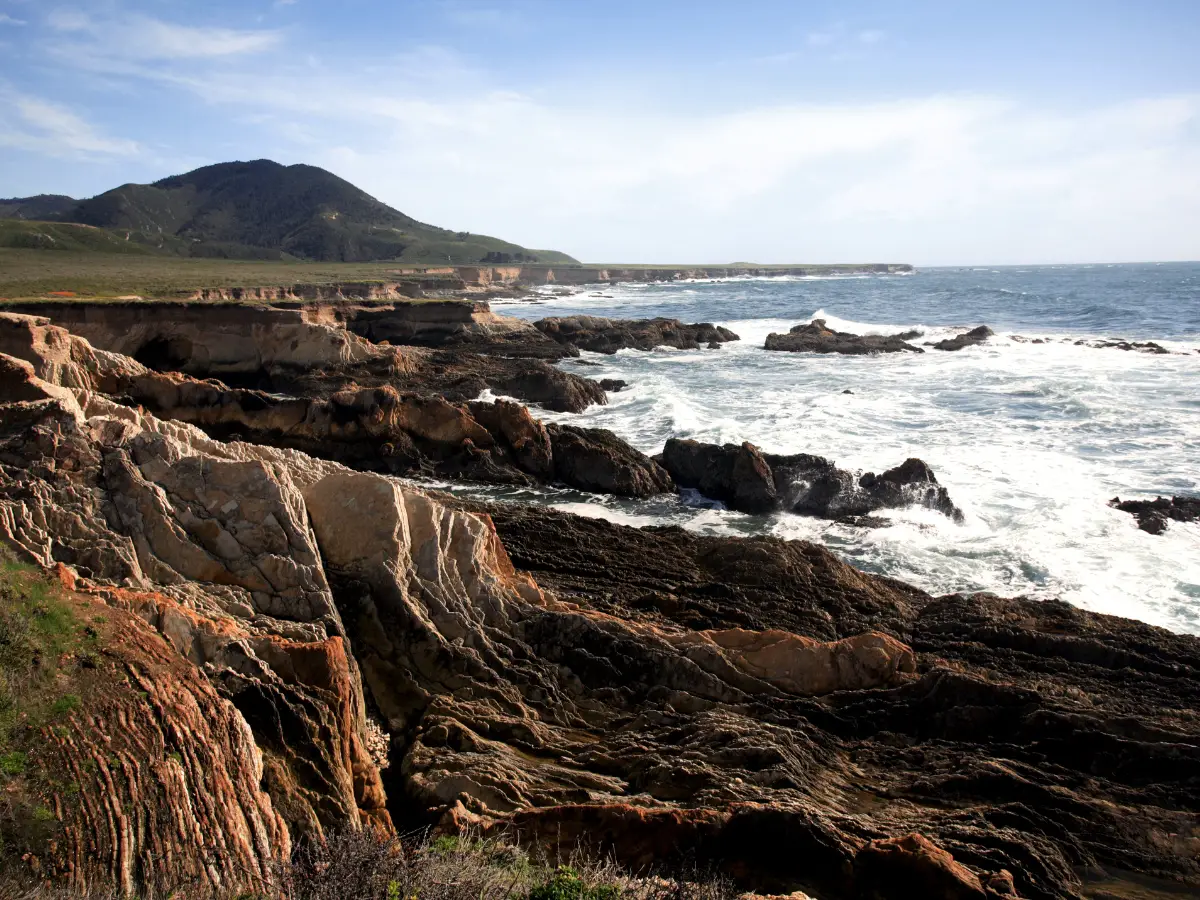
Central California
Central California is home to some of the state’s most productive agricultural regions. However, the region is also vulnerable to natural disasters. The area is prone to wildfires, floods, and landslides. In addition, the region is at risk of sea-level rise, which could lead to flooding in low-lying areas. San Luis Obispo County is particularly vulnerable due to its location on the coast.
Overall, California is a beautiful state with many natural wonders. However, it is also a state that is vulnerable to natural disasters. It is important that residents and visitors are aware of these risks and take steps to prepare for them.
California’s Future as a Peninsula
Geological Predictions
According to recent geological predictions, the Monterey Peninsula could soon become an island due to the mammoth flooding caused by atmospheric rivers and drenching storms. The rising Salinas River in Northern California is expected to flood and could cut off the Monterey Peninsula from the state. This could have a significant impact on the residents of the peninsula, particularly those living in low-lying areas.
Impact on Infrastructure
The potential flooding of the Monterey Peninsula could also have a significant impact on the infrastructure of the region, particularly Highway 101. The highway is a major transportation artery for the region and is used by thousands of residents and visitors every day. If the highway is cut off due to flooding, it could have a significant impact on the economy of the region.
To mitigate the impact of potential flooding, local officials have been working to improve the infrastructure of the region. For example, they have been working to improve the drainage systems in low-lying areas and to reinforce the banks of the Salinas River.
In conclusion, while the potential flooding of the Monterey Peninsula is a cause for concern, local officials are taking steps to mitigate the impact of the flooding. By improving the infrastructure of the region, they hope to ensure that the residents of the peninsula can continue to live and work in the area without being cut off from the rest of California.
Frequently Asked Questions
What are the names of faults in California?
There are several active faults in California, including the San Andreas fault, the Hayward fault, the Calaveras fault, and the Newport-Inglewood fault. These faults are responsible for earthquakes in the region.
What tectonic plate is California on?
California is located on the boundary between two tectonic plates: the North American Plate and the Pacific Plate. The San Andreas fault is the most well-known boundary between these two plates.
Could California fall into the ocean during a bad earthquake?
No, California will not fall into the ocean during an earthquake. While earthquakes can cause significant damage, they do not have the power to move entire landmasses into the ocean.
What will happen to California in the future?
California will continue to experience earthquakes and other natural disasters in the future. However, scientists are working to better understand these events and develop strategies to mitigate their impact.
How much of California will be underwater on a map?
It is unlikely that California will be entirely underwater on a map. While sea levels are rising, it would take a significant amount of time for California to become completely submerged.
Is California at risk of falling into the ocean?
No, California is not at risk of falling into the ocean. While earthquakes and other natural disasters can cause damage, they do not have the power to move entire landmasses into the ocean.