How big is California? The answer helps explain why a beach, a desert park and a mountain valley can be difficult to fit into one trip. California covers about 163,700 square miles including water, making it the third-largest U.S. state. Its long shape matters just as much as its area when you look at a map.
Land area, population and driving distance measure different things. A crowded coastal city tells you little about a remote county, and a straight line across the state tells you little about the road ahead. This guide separates those measures, compares California with other states, and explains how its size shapes travel, communities and natural resources.
How Big Is California in Square Miles?
California ranks third in both land area and total area, behind Alaska and Texas. It ranks first in population. Those rankings describe different features: the amount of territory within the border and the number of people living there. California is a state containing cities and counties, not one continuous urban area.
Land Area and Landscape Regions
The Census Bureau’s 2020 geography figures put California’s land area at 155,858.33 square miles. The commonly quoted figure of about 163,700 square miles includes water. Rounding and different measurement vintages explain small variations between sources, but confusing land with total area produces a much larger error. Its principal landscapes help explain how that territory is arranged:
| Landscape region | How to place it on a map |
|---|---|
| Coast Ranges | Mountains along much of the Pacific side of the state |
| Central Valley | Sacramento and San Joaquin valleys between major mountain systems |
| Sierra Nevada | High mountains along the eastern side of the Central Valley |
| Klamath Mountains | Mountain country in the northwest |
| Mojave Desert | Desert basins and ranges in the southeast |
| Colorado Desert | Low desert including the Coachella and Imperial valleys |
| Modoc Plateau | Volcanic uplands in the northeast |
| Cascade Range | Northern volcanic mountains, including the Mount Shasta area |
These examples are useful for understanding scenery and routes, but they are not administrative districts or a complete list of California’s landscapes. The California Geological Survey’s region guide also includes the Basin and Range, Transverse Ranges and Peninsular Ranges. California’s 58 counties provide legal boundaries. The Central Valley contains extensive farmland and major cities, while coastal ports connect inland producers with overseas markets. Mountains separate several of these population and transport corridors.
Population Density and Regional Boundaries
Population density means residents per unit of land, not total residents. California averaged 253.7 people per square mile in the 2020 census. That statewide figure smooths together densely settled neighborhoods and large areas with very few residents. For planning purposes, the distinction between a city, county and metropolitan region is more useful than a single statewide average.
| Region | Population geography to keep in mind |
|---|---|
| San Francisco Bay Area | Several counties surrounding the bay, beyond San Francisco city |
| Greater Los Angeles | A metropolitan region larger than the city of Los Angeles |
| San Diego County | A county that includes San Diego city and other communities |
| Central Valley | Multiple counties and urban centers across a long inland corridor |
| Inland Empire | Riverside and San Bernardino counties, often grouped with wider Southern California |
Regional population totals need defined boundaries and a common reference year. For example, the Inland Empire may appear separately in a table while also being counted within a broader Los Angeles region. Adding overlapping figures would count some residents twice. The table above describes the regions without presenting them as a complete population census.
If you are comparing places to live, look below the state average. Check the particular municipality, its housing supply and the journey to work or school. A county can include both a busy urban center and sparsely populated mountains, so even county density can hide large differences within a short drive.
Comparison with Other States
Population Comparison
For July 1, 2025, the Census Bureau estimated California’s population at 39,355,309 and Texas’s at 31,709,821. California therefore had about 7.65 million more residents, or roughly 24% more. It did not have twice Texas’s population. Use estimates from the same year and release when making this comparison, since revised estimates can differ from earlier publications.
A larger population does not necessarily mean greater density. New Jersey’s 2020 census counted 9,288,994 residents on 7,354.76 square miles of land, about 1,263 people per square mile. That is much denser than California despite having far fewer people. The New Jersey Census figures illustrate why population rankings and density rankings should be kept separate.
Geographical Comparison
Alaska and Texas exceed California in both land and total area. California is consequently third by either measure, not second when water is included. For a consistent land-area comparison, Texas’s 2020 figure of 261,267.85 square miles is about 1.68 times California’s. Our California and Texas comparison looks beyond size to the differences between the states.
Coastline length is a different measurement again. The California Coastal Commission describes a coast stretching about 1,100 miles from Oregon to Mexico. Other totals depend on how closely a survey follows bays, headlands and islands. Do not compare two coastline numbers without checking their methods, or treat either number as a coastal driving distance.
California is also larger in total area than Germany, Japan or the United Kingdom. These comparisons establish scale, but they do not tell you how quickly you can cross it. Mountain passes, indirect roads, city traffic and stops can matter more to an itinerary than the number of square miles on a fact sheet.

California’s Diversity
The state’s area accommodates coastal communities, agricultural valleys, high mountains and deserts. It also contains many different cultural histories and present-day communities. A statewide description is a starting point, not a substitute for learning about the particular neighborhood, tribal homeland or region you plan to visit.
Cultural Diversity
California’s communities include Native peoples and residents with roots in Mexico, elsewhere in Latin America, Asia, Europe, Africa and many other places. Census race and ethnicity categories describe different dimensions of identity: Hispanic or Latino residents can be of any race. Asian and Native Hawaiian or Other Pacific Islander are separate categories, so combining them without explanation obscures the data.
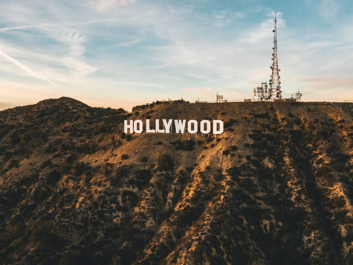
That range of backgrounds is visible in local food businesses, languages, museums and community celebrations. Lunar New Year and Día de los Muertos events are examples, but their dates, organizers and traditions differ by community. Hollywood adds another layer through film and television production; it does not represent every Californian’s daily experience or cultural identity.
Geographical Diversity
The coastline receives an ocean influence that can differ sharply from inland valleys. The Sierra Nevada creates high-elevation terrain and a barrier between much of the Central Valley and the eastern side of the state. Farther south and east, desert landscapes require a different approach to travel than a coastal city or mountain destination.
Yosemite Valley is known for granite cliffs and waterfalls. Its giant sequoias grow in separate groves within Yosemite National Park, rather than in the valley itself. The National Park Service’s Yosemite information helps distinguish the valley from the much larger park, an important detail when estimating distances between attractions.
Mono Lake lies east of the Sierra Nevada, while the Salton Sea lies much farther south in the Coachella and Imperial valleys. Both are saline lakes, but their settings and environmental histories differ. The Department of Water Resources explains the Salton Sea’s declining water levels, rising salinity and habitat work. These are living landscapes with changing conditions, not interchangeable sightseeing stops.
Choose a manageable region before filling an itinerary with names from across California. A coastal base can work well for nearby towns, while a mountain or desert visit may need a separate overnight stay. Read about snow in California when comparing seasons, particularly if your route crosses higher elevations.
The Impact of California’s Size
Large distances affect how California moves people, water and goods. They also mean a solution suited to one region may not fit another. The practical questions are where people live, where jobs and resources are located, and which routes connect them, rather than simply how much open space appears on the map.
Housing and Infrastructure
Housing demand concentrates around employment, services and transport links. Large statewide land area does not guarantee affordable homes near those destinations. Nor has population grown steadily in every recent year: the 2025 Census estimate remained below its revised 2020 base. Housing availability depends on local construction, land-use rules, costs and demand as well as population change.
Infrastructure must serve both dense urban trips and long intercity journeys. Roads that look direct on a small map can take substantial detours around mountains, and a scenic coastal route may take longer than an inland highway. Before booking consecutive overnight stops, compare the actual route and allow time for meals, charging or fuel, and the places you intend to see.
Environment and Resources
Water management shows the scale particularly clearly. The State Water Project extends more than 705 miles and connects storage and delivery facilities across much of California. Managing water involves agriculture, households, ecosystems and changing weather, so the location of a resource matters as much as the state’s overall area.
California also contains oil, natural gas and mineral resources alongside forests, farmland and protected habitats. Resource extraction and land management involve tradeoffs over water, air quality, wildlife and nearby communities. Size alone does not cause these problems or solve them; decisions about specific sites and transport networks determine many of the local effects.
For a useful picture of California, keep three scales in mind: the statewide figures, the region you are studying, and the route or community that affects your plans. This avoids assuming that a statewide population average describes a neighborhood, or that two destinations will be close because they belong to the same state.
Frequently Asked Questions
What was California called before it became a state?
Alta California was the name used for a larger northern territory under Spanish and then Mexican rule. It was not identical to today’s state boundary. California became a U.S. state on September 9, 1850, following the transfer of territory from Mexico to the United States in 1848.
Which Native peoples live in California?
California is home to many distinct Native peoples and tribal governments, including communities associated with Chumash, Pomo, Miwok and Yokuts identities. These names do not form a complete list and may encompass multiple communities. Consult the relevant tribal government’s own resources for its name, history and present-day activities rather than treating tribes only as part of the past.
Which events shaped California’s history?
Native peoples lived in the region long before European colonization. Spanish exploration and settlement, Mexican government, the 1848 gold discovery and U.S. statehood in 1850 were later turning points. Russian settlement at Fort Ross began in 1812, not during the sixteenth or seventeenth century.
How did California get its name?
The name California comes from a Spanish novel called “Las Sergas de Esplandián,” which was published in 1510. The novel tells the story of a mythical island called California, which was said to be rich in gold and precious stones.
How long and wide is California?
California is often summarized as roughly 770 miles long and 250 miles wide, as in the state emergency plan’s geography overview. Those are broad dimensions, not a claim that the state forms a rectangle or has one constant width. Actual distances depend on the endpoints and direction measured, and road journeys follow a different course.
Who governed California before Mexico?
Spain claimed and colonized the region before Mexico became independent in 1821. That describes colonial political control, not the beginning of California’s history or a simple account of ownership. Indigenous peoples already lived on and maintained relationships with these lands, and their communities continue today.